Walking the Taff Trail: Pontypridd to Merthyr Tydfil
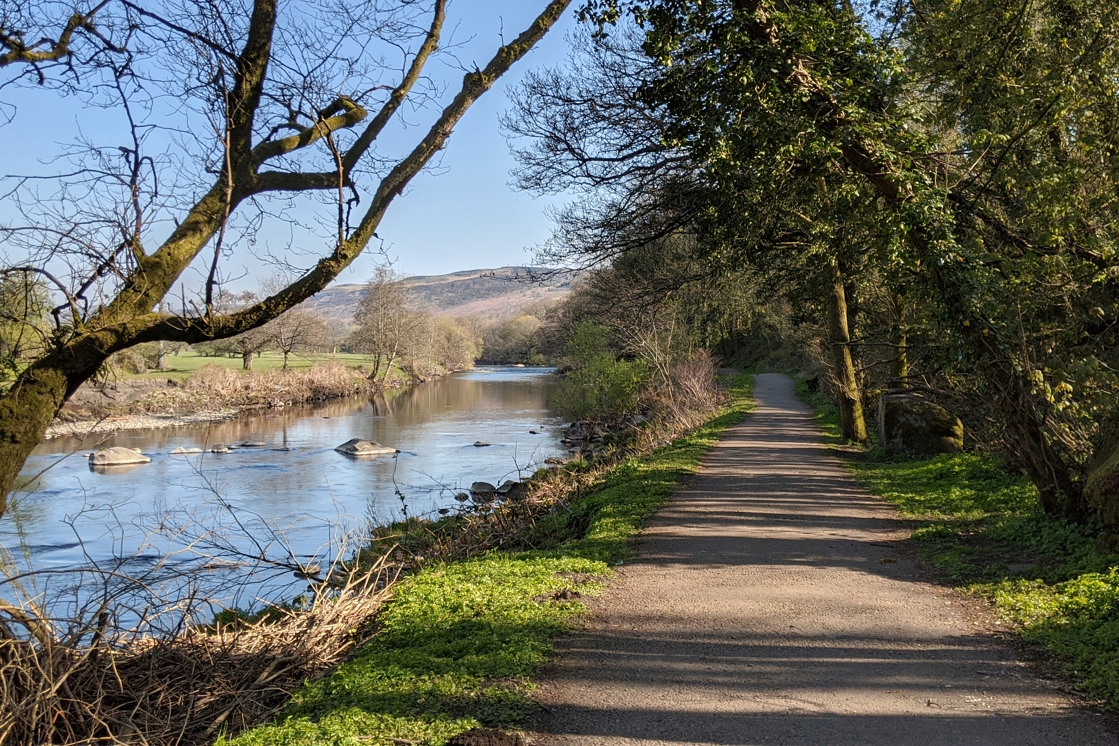
The Taff Trail is a 55-mile (89km) walking and cycling path between Cardiff and Brecon. I tackled the hike in three sections – this blog post is all about the route from Pontypridd to Merthyr Tydfil.
Missed part one? Find out how to walk the Taff Trail from Cardiff to Pontypridd.
Route: Pontypridd to Merthyr Tydfil
Details: visit sustrans.org.uk for the full Taff Trail route.
Time: approximately 4.5 hours
Distance: approximately 14 miles (23km)
Pontypridd to Abercynon
Time: approximately 1 hour
Distance: approximately 4 miles (6.5 km)
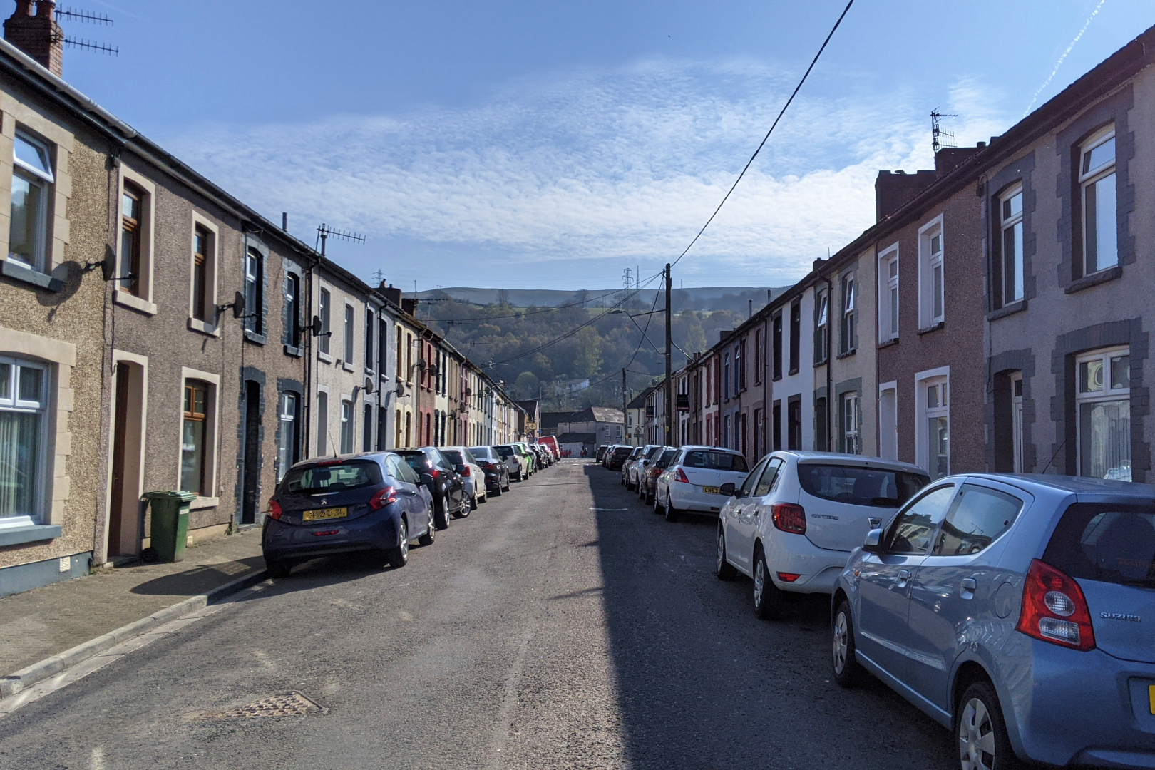
From Pontypridd train station, head north up High Street, turning right before HSBC to cut through Ynysangharad Park, home to the National Lido of Wales. Continue north, crossing Bridge Street and heading up Fish Lane, before turning left onto Middle Street, where you'll find terraced houses – the type seen throughout the South Wales Valleys.
From here, the trail is very well signposted (I started off with a half-hour 'warm up', confidently heading in the totally wrong direction after the merest glimpse at Google Maps, so I was grateful for these). With the town behind you, it's time to go off-road.

The quiet track will eventually spit you out in Abercynon. Keep an eye out for The Navigation House pub; once the official headquarters of Glamorganshire Canal Company (in the 18th and 19th centuries), it now provides a fine pitstop for thirsty hikers.
Abercynon to Quakers Yard
Time: approximately 1 hour
Distance: approximately 2.5 miles (4km)
In 1904, Cornish mining engineer Richard Trevithick made history by hauling iron and passengers from Merthyr Tydfil to Abercynon (once known as Navigation) on a steam locomotive. There's an information board commemorating this near the fire station, which is where you'll turn right down a wide, flat road.
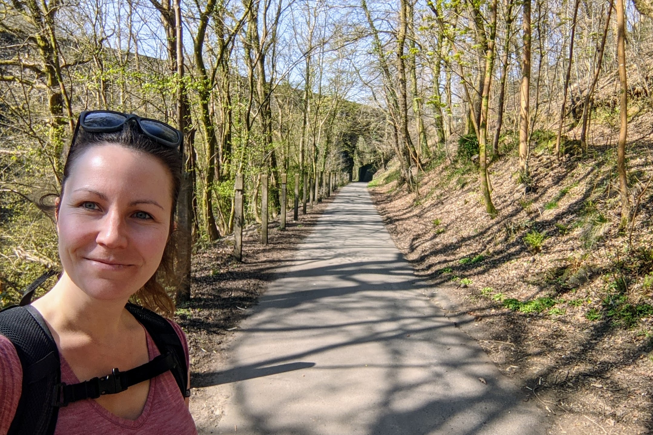
Walk beneath the A472 and follow Tram Road Side, wandering past a clutch of quirky cottages with well-tended gardens, until you reach the narrow footbridge that will lead you across the River Taff for the first time. You're now passing by the historic village of Quakers Yard, in Treharris.
Quakers Yard to Aberfan
Time: approximately 1 hour
Distance: approximately 3 miles (5km)
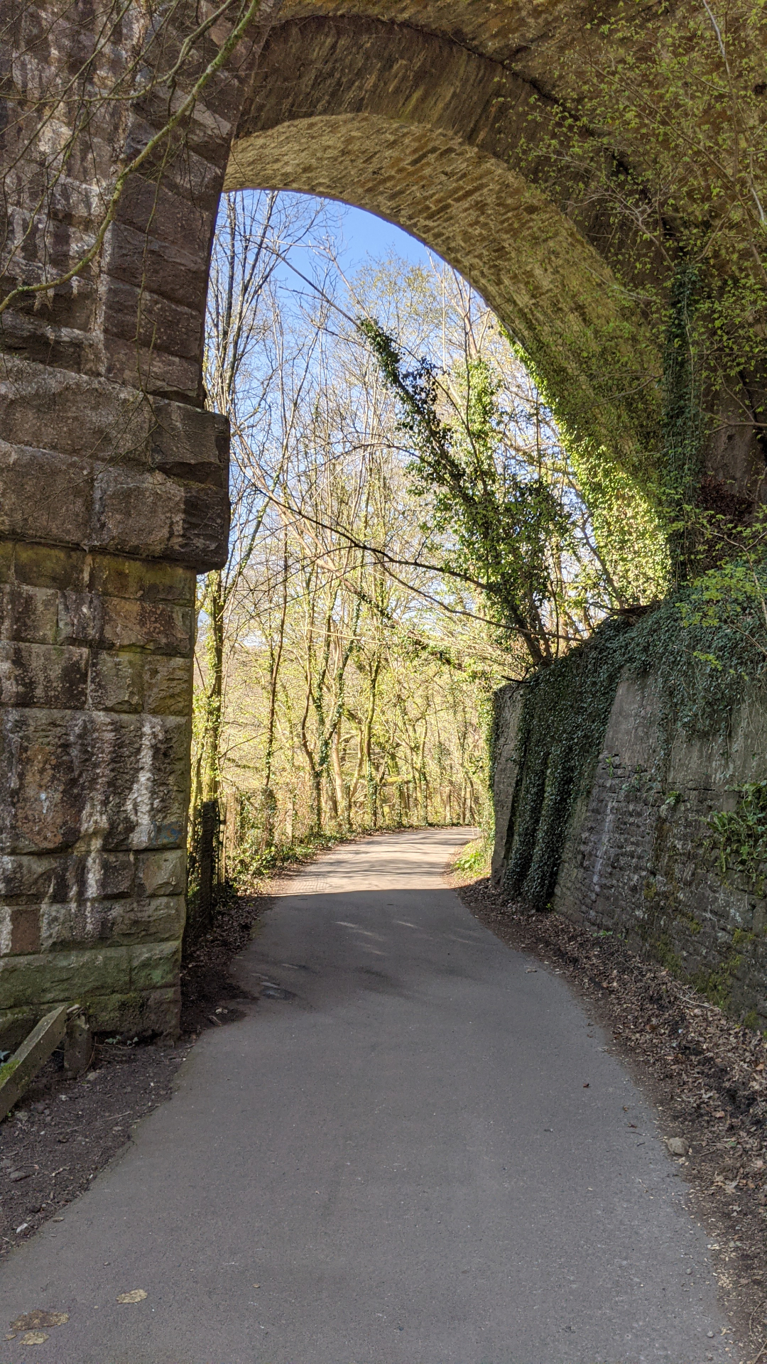
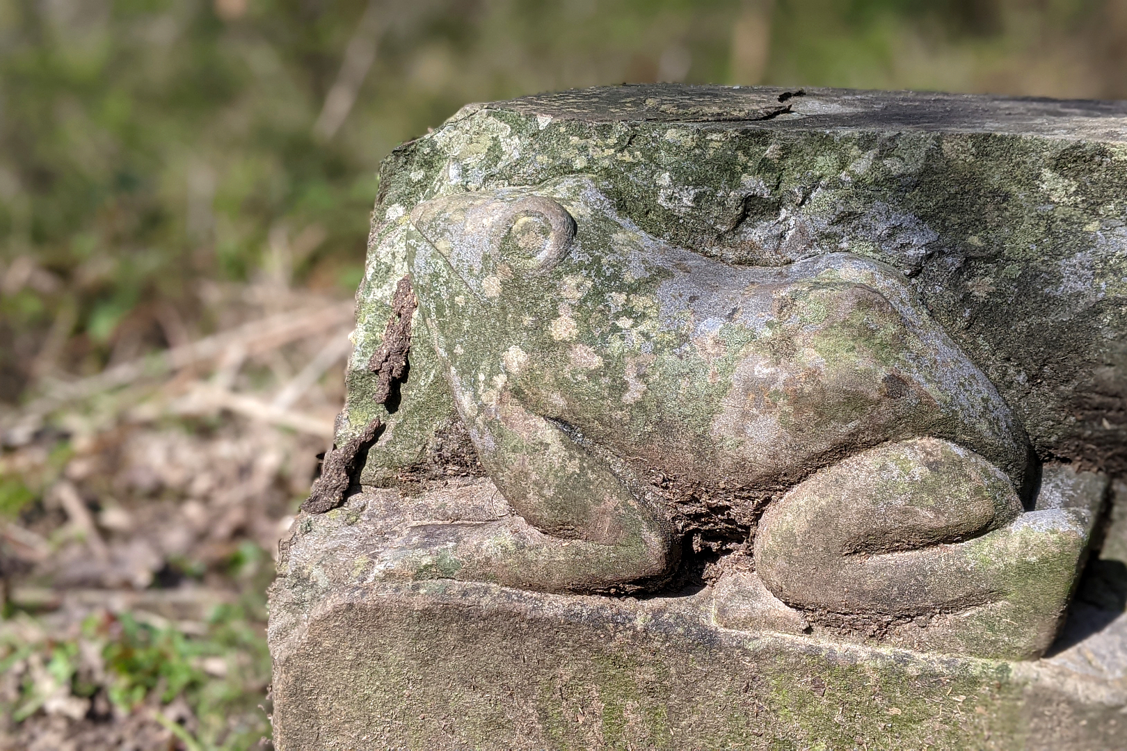
Keep following the tree-lined path, keeping straight at the crossroad, and you'll soon cross another bridge – old and wide this time – putting the river back on your left side. Ahead you'll see Goitre Coed viaduct, and walk beneath one of its huge stone arches as the trail carves higher through the hillside. Eventually the track widens; here you'll find stone carvings of otters, frogs and other wildlife, plus evidence of Trevithick's old tram road.
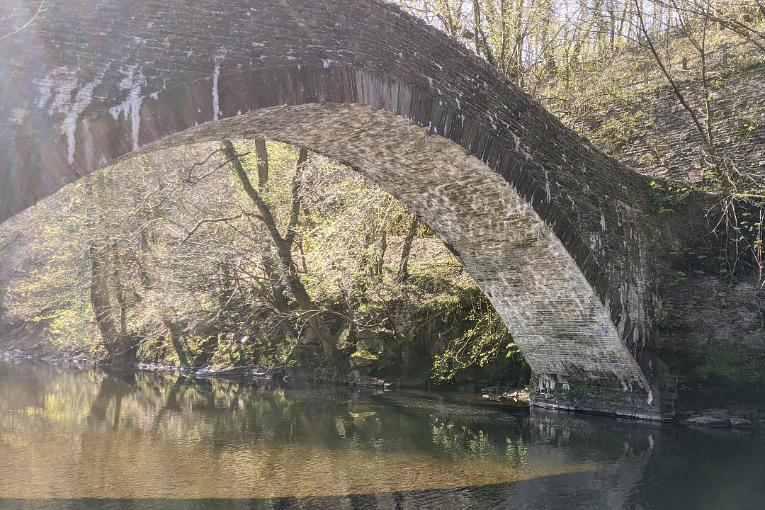
Next, you'll reach a T-junction. Turn left and cross Pont-y-gwaith. This steep stone arch was built in 1811 to replace a wooden bridge used by workers at a nearby 16th-century ironworks. It's certainly the prettiest bridge along this section of the trail – if it's sunny, the sparkling water will cast dancing shadows on the underside.
Continue uphill and walk under the A470 via a particularly ugly tunnel. Don't miss the crucial hairpin bend that follows – then brace yourself for a long, straight, fairly boring walk alongside the main road. A right-hand bend will take you under another tunnel, burping you out into the residential outskirts of Aberfan.
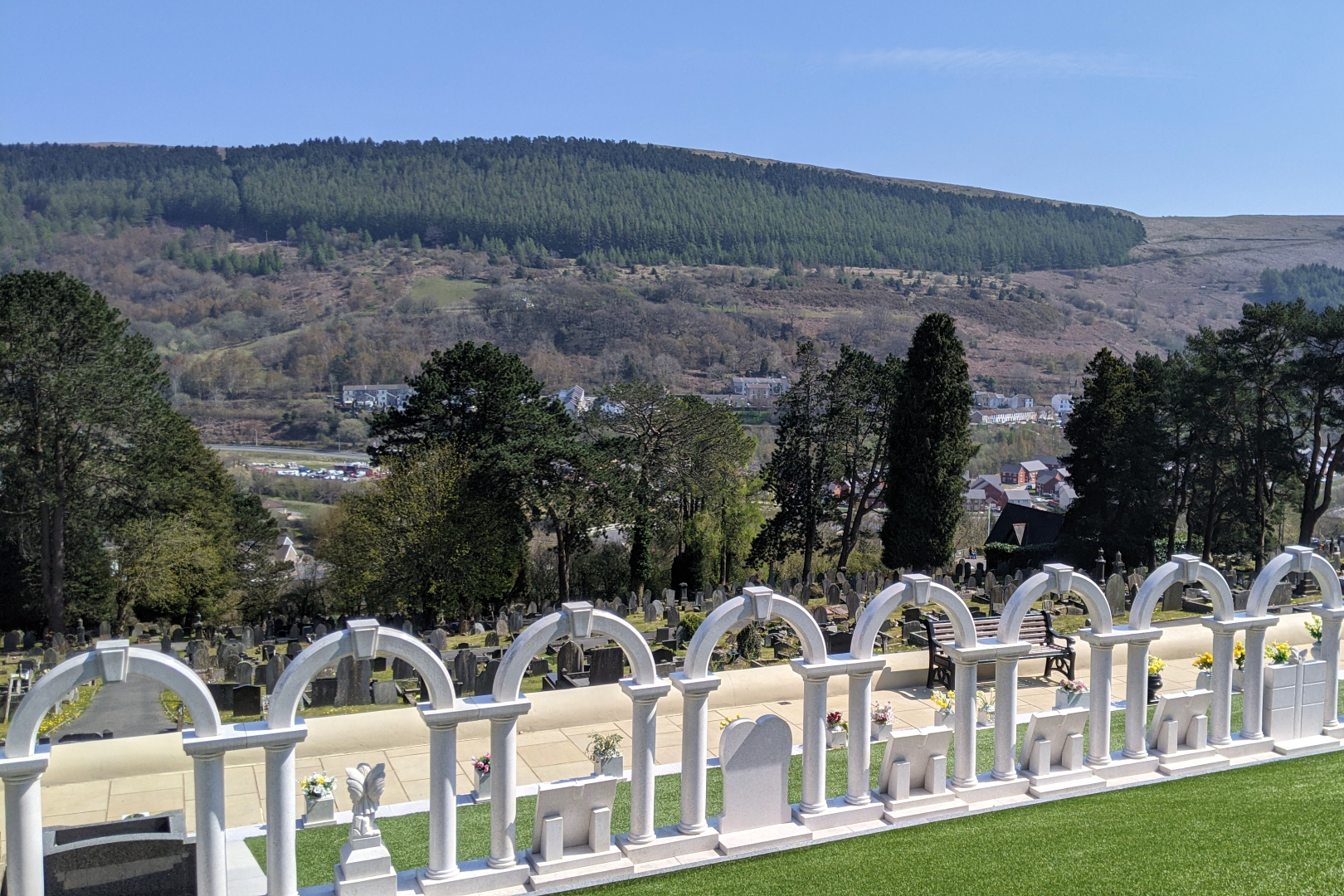
Recently depicted in The Crown (series 3, episode 3), the tragic Aberfan disaster of 21 October 1966 saw a coal slag heap slide and engulf part of the town, including Pantglas Junior School. 116 children and 28 adults died in what remains one of the UK's worst mining disasters.
It's worth taking a break here to pay your respects at the beautiful cemetery and memorial garden.

Aberfan to Merthyr Tydfil
Time: approximately 1.5 hours
Distance: approximately 4.5 miles (7km)
Exit the cemetery and take the first hairpin left turn to rejoin the fern- and bramble-lined path, being careful not to get a crick in your neck from gawping at the sweeping green valley on your right.
1.5 miles (2.4km) and roughly 30 minutes later, a red gate marks a spot where you'll need to cross a quiet road, before rejoining the traffic-free trail – this time overlooked by terraced houses (what cracking views the residents must have of the forested hills beyond).
More red pillars indicate the next vehicle-friendly stretch. Stop at the Dynevor Arms for a drink and loo stop if you want, then later, cross beneath the rumbling A4060 – you're now passing through Abercanaid.
Pass by (or stop in at ) Llwyn Yr Eos Inn, another drinking hole, then, after a short walk through a residential street, you'll emerge at a junction. The next stretch of trail runs parallel to Wildwood Road. You'll soon see a roundabout on your right – cross straight over the road and veer right as the trail splits off yet again.

When you cross beneath an old moss-covered stone bridge, you're almost there. A looming Travelodge confirms this, and marks the end of the scenic portion of this route. Loop right around a Vue cinema, retail park and the back of Merthyr's leisure centre (which was sporting some pretty cool street art when I visited) and head beneath yet another bridge, sticking to the left bank of the river. Take the first bridge on the right and cross the water. Welcome to Merthyr Tydfil!

What to pack for the Taff Trail
Enough water. I often use my CamelBak reservoir, which sits neatly in my small rucksack and means I can drink while walking by using the straw that clips on to my shoulder strap.
Snacks: think trail mix, fruit, flapjacks and a cheeky chocolate bar.
A spare pair of socks – your feet will thank you for switching up at the halfway point. Credit for this tip goes to my friend and former colleague Megan, who loves a long walk.
Blister plasters, because the last thing you want is a limp and bloody socks (especially if you just changed them).
A phone or sports watch equipped with GPS and OS Maps.
Getting to and from the Taff Trail
Check thetrainline.com and traveline.cymru for the latest timetables and fares.
From Cardiff Central to Pontypridd
Train: Direct trains between Cardiff Central and Pontypridd run a few times an hour. I use the Trainline app for paperless tickets. As of 2022, an Anytime Day Single (one-way) ticket costs £4.90. If you plan to return to Cardiff once you've reached Merthyr Tydfil, don't buy a return ticket – it's more cost-effective to buy a one-way ticket for each leg of your journey.
Bus: The TrawsCymru T4 bus (which runs between all key stops along the Taff Trail, including Merthyr Tydfil and Brecon) and the X4 both depart from Pontypridd Bus Station, Morgan Street, taking around 40 minutes to reach central Cardiff. As of 2022, one-way (single) tickets cost £3.40.
Taxi: approximately 20 to 30 minutes.
Returning to Cardiff from Merthyr Tydfil
Train: Direct trains between Merthyr Tydfil and Cardiff Central run once an hour and take about an hour. I use the Trainline app for paperless tickets. As of 2021, an Anytime Day Single (one-way) ticket costs £5.
Bus: The TrawsCymru T4 bus (which runs between all key stops along the Taff Trail, including Pontypridd and Brecon) and the X4 both depart from Merthyr Tydfil Bus Station near Castle Street, taking around 1 hour to reach central Cardiff. As of 2022, one-way (single) tickets cost £5.80.
Taxi: approximately 45 minutes.
Where to stay in Merthyr Tydfil
I didn't stay in Merthyr Tydfil, but here are some options I'll consider next time:
James' Place at Brynawel, Queens Road: stylish studios a 10-minute walk from the train station.
Bunkhouse Ty Wern, Cae'r Wern: sleeps up to 10 guests (mostly dorm-style) and has an outdoor BBQ.
Travelodge, Merthyr Tydfil Leisure Village: budget-friendly, and right on the trail. Ideal if you want a cheeky Nando's.
You might also like...

Walking the Taff Trail: Cardiff to Pontypridd

Review: beginner surf lesson at Adventure Parc Snowdonia
